Destinazioni - Comune
Levico Terme
Where
Levico Terme (Trento)
Levico Terme (Levego in local dialect, German: Löweneck) is a comune (municipality) in Trentino in the northern Italian region Trentino-Alto Adige/Südtirol, located about 15 kilometres (9 mi) southeast of Trento. As of 1 January 2008, it had a population of 7,164 and an area of 62.9 square kilometres (24.3 sq mi).
Geography
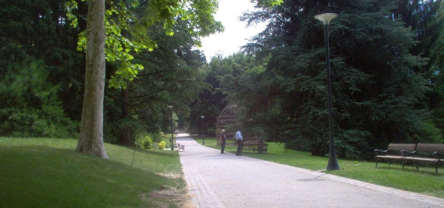
Levico Terme is located on the highest point of the Valsugana bottom, at 520 metres (1,710 ft) above sea level, 22 kilometres (14 mi) from Trento and about 110 kilometres (68 mi) from Padua, on the banks of the Rio Maggiore brook, which is a tributary of Lake Levico, from which originates the Brenta River.
The city is dominated by the mountains of the Lagorai range on the north, with Monte Fronte, elevation 1,571 metres (5,154 ft), and Monte Panarotta (2002 m), and the zone of the Plateaus (Vezzena, Lavarone, Luserna, Folgaria) on the south, where Cima Vezzena, also locally called Pizzo di Levico (1908 m), with its distinctive Austro-Hungarian fort on its top, and Cima Pegolara are located. On the west the Vigolana range can be seen past the lakes of Levico and Caldonazzo, and on the east the valley opens considerably, and the zone of Borgo Valsugana can be seen.
The urbanised area is predominantly on the valley floor, with the main urban centre lying on the left side of the river Brenta along with the 'frazioni' of Selva and Campiello, while on the right of the river lie the 'frazioni' of Barco, Santa Giuliana and Quaere. Other hamlets do not lie on the valley floor, though their population is low and often tied to seasonal activities such as tourism (Vetriolo Terme, 1500 m) or mountain activities such as logging, grazing and recreation (Passo Vezzena, 1402 m).
The municipality of Levico Terme is traditionally divided into six 'rioni' (quarters): Chiesa (north-west), Furo (north-east), Grande (south-west) and Cortina (south-east) in the main urban centre, Oltrebrenta comprising all the 'frazioni' on the right bank of the Brenta (Barco, Santa Giuliana, Quaere), and Selva comprising the homonym village and Campiello.
West of the city, above Lake Levico, lies Forte Col De Le Bene, an Austro-Hungarian fort, also known as Forte San Biagio, from the hill it is built on.
History
Ancient history
Traces of inhabitants in the Levico municipality can be found up to the Iron Age, though the first organised settlement springs up during the Roman era. The etymology of the name "Levico" is still debated. The major theories make Levico derive from Celtic terms such as 'leoug', 'leak' or 'lewa', signifying "border post/boundary marker", or from the barbaric gentilic 'Letta', from which came 'Levi vicus' then contracted into 'Levicus', or from the Latin '(praedium) Livicune' ("Livius' farm", then vulgarised into 'Lievigo' and 'Levigo') or 'Laevus vicus', "village left [of the river]". The Latin interpretations are the ones most agreed with, given the abundance of Latin terms in the topography of the municipality (such as Furo, from 'forum'). Lombard presence is also cited in various documents and toponyms, such as 'Guizza' (from 'wizza', community graze land).
Demographic evolution
References
^ All demographics and other statistics: Italian statistical institute Istat.
External links
(Italian) Homepage of the city
Levico Terme Online